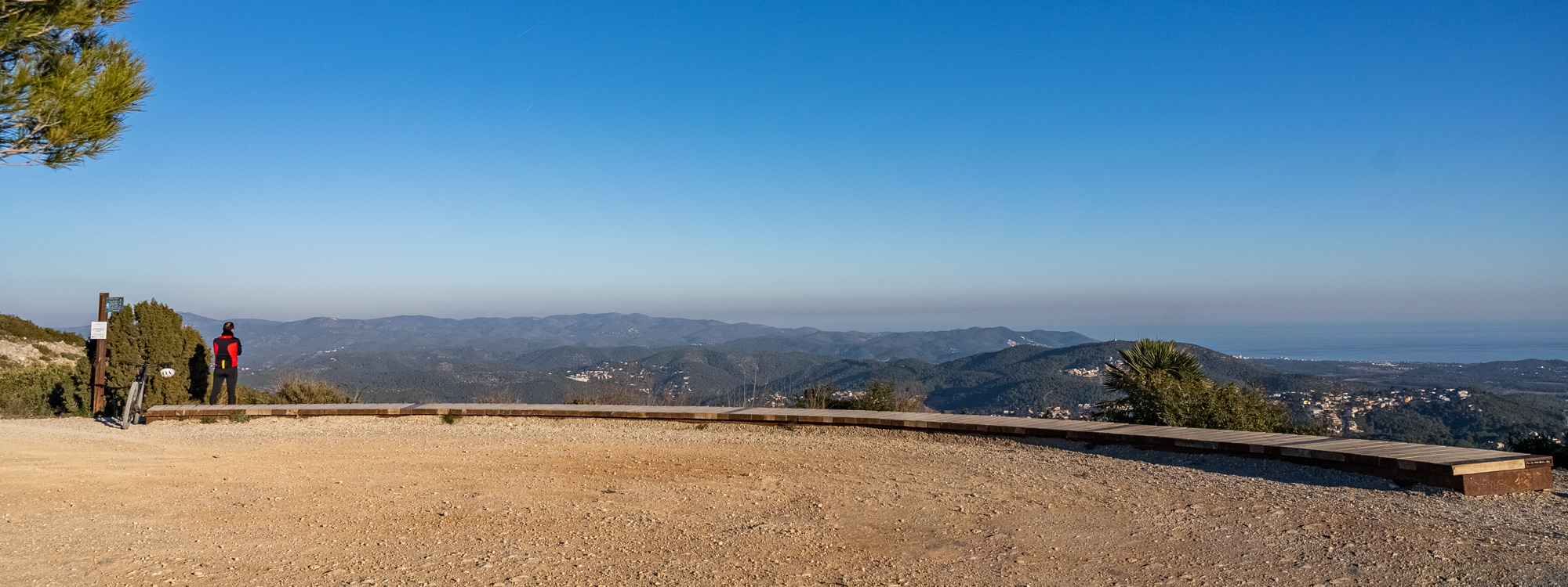
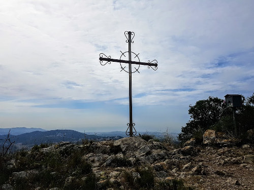
Puig de l’Àliga panoramic route
Data of interest
Canyelles- Distance: 12,99 Km
- Unevenness: 435 m
- Approximate duration: 2h 45m
- Difficulty: Alta
- Thematic: Heritage / Landscape / Nature
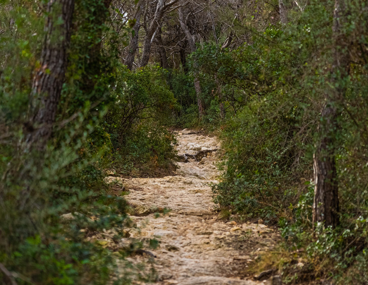
It offers a panoramic walk taking advantage of the various natural points with views of the surroundings, which allow you to appreciate the landscape in all directions. It is proposed to go up from Canyelles to Puig de l’Àliga along the Cal Muntaner path and go around the highest point, to connect with the Olèrdola viewpoint and the Tres Partions pass.
Places of interest
-

Puig de l’àliga
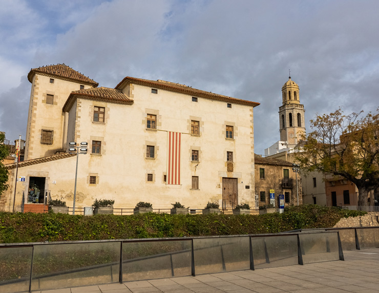
At the crossroads of carrer Major and Balsa de Llot de Canyelles, start the route along the path that goes up the Pla del Bosc stream, marked with a flag. Pass through the Cogullada and Daltmar housing estates to head first towards the Olèrdola complex and then towards Puig de l'Àliga, following ...
At the crossroads of carrer Major and Balsa de Llot de Canyelles, start the route along the path that goes up the Pla del Bosc stream, marked with a flag. Pass through the Cogullada and Daltmar housing estates to head first towards the Olèrdola complex and then towards Puig de l'Àliga, following the signs on the ridge and the GR 92.3 continuity markers. The return to Canyelles is along a connecting path on the right (southeast) about 200m down from Puig de l'Àliga.
see more
see less
Find it at: Canyelles – Olèrdola – Puig de l’Àliga
Discover other routes
-

Vilanova – Miralpeix Castle – Sant Pere de Ribes
Sant Pere de Ribes Vilanova i la Geltrú- DISTANCE 24,01 Km
- WEATHER 2h 30m
- UNEVENNESS 235 m
-
-
Canyelles – Olèrdola – Puig de l’Àliga
Canyelles- DISTANCE 13,24 Km
- WEATHER 3h 45m
- UNEVENNESS 485 m
-
-
Cubelles – Serra de Sant Antoni – Turó de l’Avenc – Puigdetiula
Vilanova i la Geltrú- DISTANCE 11 Km
- WEATHER 4h 15m
- UNEVENNESS 200 m
-